
The Klondike Highway connects Whitehorse to Skagway. The highway closely matched the route miners took to reach Dawson City (Klondike gold rush town) from Skagway. This was not the most direct route toward the gold claims but it was the easier route to cross the mountains. After the Chilkoot pass, the miners took advantage of the water system to travel toward Whitehorse and the Yukon River. This became the path the railroad took. Once the railroad route was chosen, all other trails ceased to attract miners. Dyea, the town near the steeper portion of Chilkook Pass, was the starting point for the more dangerous and more direct route to the gold fields. Miners died on the Dyea trails as they crossed the mountains. It was the Dyea route that was often pictured in newspapers during the early portion of the gold rush. The picture was of an icy staircase full of miners one after another climbing up the mountain. The Mounties patrolled this route. No one was allowed up the pass without 2000 pounds of supplies; the amount necessary to live for at least three months. Some people took over a month to bring their supplies up the mountain. The Klondike gold rush played an important part in the history of this area.
The Klondike Highway was lightly populated, similar to our experience on the Alaska Highway.

Again the scenery was spectacular. It is only 130 miles between cities. We took our time as we journeyed this historical route. Glaciers displayed their presence in the mountains as well as through the color of the lakes, the bright turquoise glacial water color.

We stopped by Carcross to take a picture of the oldest operating store in the Yukon. Carcross was not much to look at; the store was the most colorful building.


 After Carcross, it was more amazing scenery until we reached Skagway. As we were traveling the Alaska and Klondike highways we were listening to a book on tape describing building the Panama Canal. For some reason seeing the rough terrain that miners and road engineers had to take to reach the Yukon River and hearing about the rough circumstances folks endured to build the canal merged into a compatible visual-oratory experience.
The Canadian border ends about 10 miles before the U.S. Customs stop. This border crossing had no long lines of cars causing us delays. Instead our crossing was slow due to our carelessness in having fruit and cherry tomatoes in the car. We had to wait for the agriculture inspector to inform us if we could take our apples and cherry tomatoes into Canada. The cherry tomatoes were tossed and the apples were kept.
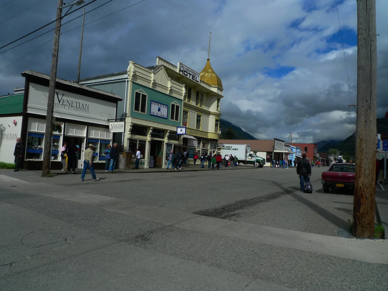
 Skagway was in the height of cruise ship traffic when we arrived. There were 5 cruise ships in dock. The town was crawling with tourists. This is a town that prides itself on selling cheap jewelry, 1 ct diamonds for $700. Eight out of ten stores in the blocks closest to the port sold jewelry. The downtown sidewalks were wood planks. Only one gas station was operating. We bought some smoked fish after tasting the wares. This was a family run operation that produced some of the tastiest smoked salmon, halibut and other fish. The jewelry stores left us cold; the jewelry looked tacky. The popular t-shirt store (many cruisers were seen walking back to their ships with bags from this store) was full of cheap goods; a cap manufactured in China with the word Alaska on it could be purchased for less than $2.00. The Tourist Center in town showed a good movie about the gold rush. It was a highlight of our entertainment in Skagway. After the cruise ships departed at night, the town was empty. That was when these pictures were taken.
Dinner at the local fish restaurant was superb! Here was a picture of the food, no description, only an image.

Viviane caught her first salmon at Skagway.
ReplyDelete