Friday, August 13, 2010

Banff

There are not enough superlatives for the beauty of Banff and Jasper. Visit this place, you will not be disappointed!

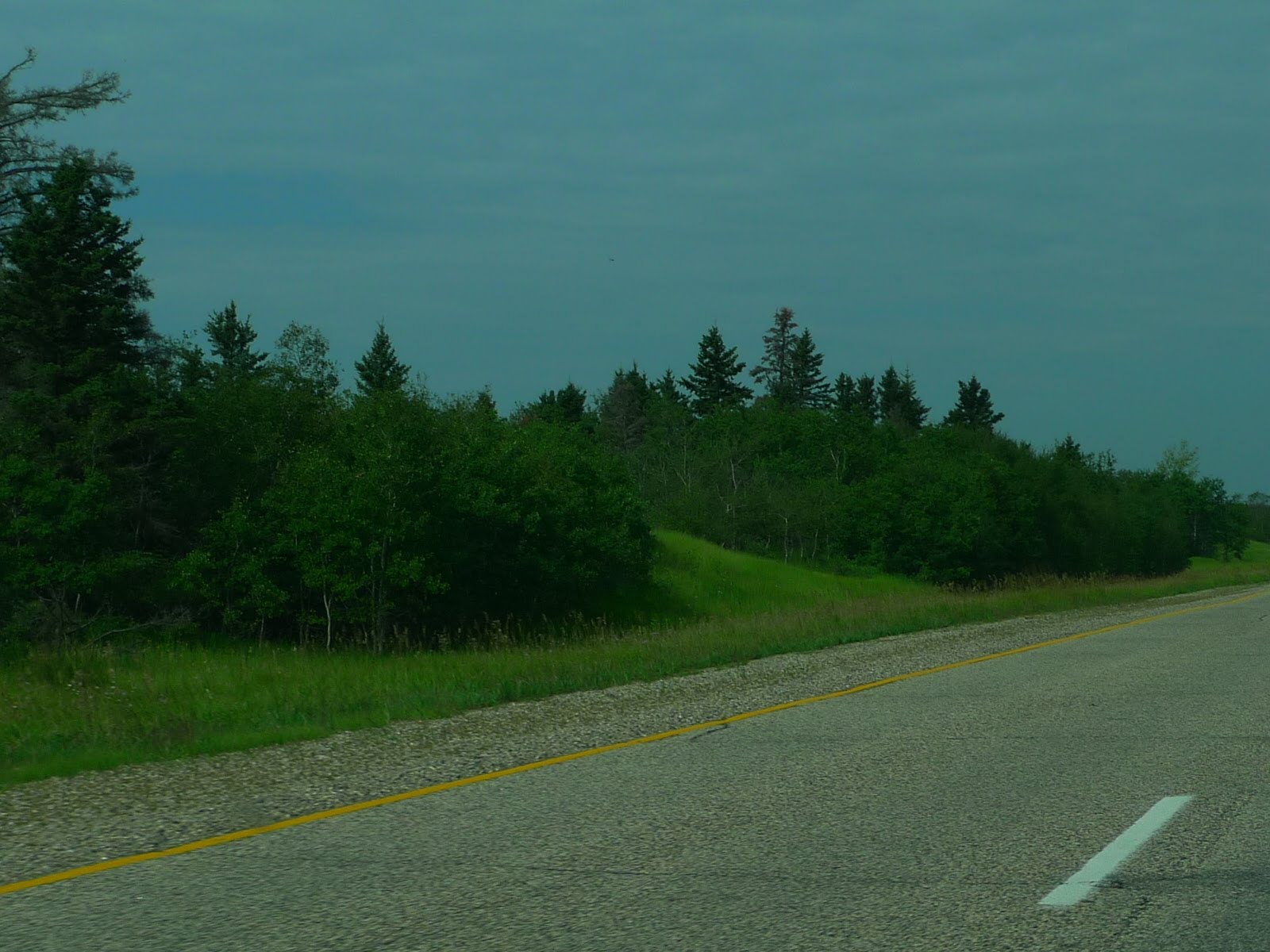
The drive from Calgary to Banff was uneventful; the four lane highway was smooth and offered great scenery. Here is a sample scene along the route prior to entering Banff and the National Park.


The first introduction given to our new visitors was the gondola ride overlooking Banff and the surrounding area. The views from the mountain top convinced everyone that traveling to Calgary for this adventure was worth the time and expense.
The lake and stream water were very blue. We surmised (or read) this was due to the iron minerals mixing with sulphur minerals in the water. Anna's highlight of this gondola experience was seeing the little chipmunks begging for food. These pests did not have any fear of humans. They were cute beggars.

After the gondola ride we traveled on to our Lake Louise campsite. Here was a view from our drive toward Lake Louise.


Upon reaching Lake Louise we realized that we missed the road toward the campgrounds. We were at the Fairmont Hotel on Lake Louise. There were no campgrounds around the lake. This place was a beautiful setting for a hotel. The hotel was near where I was standing to take this picture. Lake Louise was green and very cloudy. This was due to the glacier feeding the lake. The cloudiness was from fine silt coming from the glacier runoff.

We re-traced our steps back down the road and found the campground. Lake Louise campground is near Lake Louise but not on the lake. This popular campground had a line of RVs and tenters waiting to reach the campground registration office. After an hour we reached the booth. Thankfully we had a reservation and a campsite.
Our site was nicely located, close to the washrooms and not too far from the showers. This campground is surrounded by an electric fence to keep the humans away from the wildlife (just joking). The fence was to keep the bears away from the camper's food. The campground offered no containers to hide food from the bears. The campground personnel told us to keep the food in our car. In Yosemite keeping food visible in the car guaranteed your car window would get broken. Canadian bears were less bold or the fence must have been successful in keeping them away. The doctor in our group wanted to touch the electric wire. The rest of us discouraged him from testing if the fence was working.

That night we ended up having dinner at the Fairmont since it was convenient and highly rated. Most of us had the excellent buffet.

After dinner we detoured off to see Lake Morraine. The wildflowers were beautiful around the lake. The lodge at Lake Morraine was rustic compared to the Fairmont. Lake Morraine was smaller than Lake Louise and had a lot of mosquitoes. Here was a picture of Todd and Anna in front of the lake. Every road we took brought us to another impressive landscape. Thankfully we all had digital cameras; we all took numerous pictures of the scenery.

The next day we went canoeing on Lake Louise.

Here was a picture of the Fairmont from the other end of Lake Louise.
The lake water was slightly above freezing. We were very well behaved in our canoes. No one wanted to fall into the water or get splashed.

After the canoe ride, most of us went on a hike up to Lake Agnes. Along the trail was a waterfalls. Here were some intrepid hikers in front of the falls.

A tea house was located near the lake. The hike was steep without being long. It was a cardiac workout. At Lake Agnes, it began to rain lightly. We did have tea outside the house. We tried to stay dry under the porch roof as we sipped our tea.

Rahul wanted to hike toward the glaciers at the end of Lake Louise. Our group split up with some opting for the longer hike while others headed back to hang out at the Fairmont. Later that afternoon it rained heavily; it was a lightening and thunder storm. Our visit to the park was destined to be a wet one.

We had to find another restaurant for dinner or wait until 8:30 to eat. Our choice, the Italian pizza place in the town of Lake Louise, was the perfect finale for this beautiful, wet day.

Thursday, August 12, 2010

To Calgary and First Day in Calgary


From Moose Jaw to Calgary was an easy 400 mile drive. In the prairies the roads were straight with a fast speed limit. The granaries nicknamed the “cathedrals of the prairies” did stand tall and magnificent against the blue sky.

Saw another largest picture along the road, this one was for the largest teepee. Sorry there is no picture of the sign, it was read and then disappeared in the dust of our speeding car. The picture of the teepee itself made up for missing the largest sign.


Calgary houses a little less than 1 million people. As we began to approach the city, traffic increased. The city was driving friendly with good signs and accommodating drivers for when we had to cross over several lanes of highway or were trying to make a bad turn. There was good downtown parking. The Sandman Hotel was great. Our room was on the 21st floor with windows on two sides of the building. It provided a great view of city. The location could not have been better, right in the center of downtown. This downtown was vibrant, even after work hours. After checking in and settling the car, we explored our little city niche.

The downtown area was growing, there was a lot of oil and banking money in Alberta. We saw signs of new construction projects all over the downtown area. There was a map store in the area that I wanted to visit but we were not able to find the time when it was open. One place we did visit was a company founded in 1670. How many companies can make that claim? Our shopping excursion there was a disappointment; we did not find a large outdoor selection. Hudson Bay Company brought ideas of clothes and necessities for the local environs. The beaver skins and hats were missing as well.

The winter weather is supposedly rough here; there is a series of glassed in walkways between buildings. You can catch a glimpse of one at the end of the street. This street was closed off to vehicle traffic. There were a lot of restaurants with sidewalk patios and on Day 2 in Calgary we ate at one of those restaurants.

Calgary has a small Chinatown area, about 2 square blocks. We were looking for a cultural center that supposedly had a beautiful tile dome. Our first exploration of this area, the night we arrived, did not turn up anything. We thought that we had toured all of Chinatown. The next morning as we were returning from getting the car oiled and tires rotated we passed a building that we had been looking for. A quick visit inside confirmed that we found the Dr. Henry Fok Cultural Hall. The ceiling was impressive.


That evening when the other members of our Banff/Jasper party had joined us we went out to dinner, at Joey Tomatos. (Five others had flown into Calgary to share the experience with us.) We were settled outside, the temperature was very comfortable. The outdoor seating area was full of flowers. All of a sudden the rains fell and fell. We thought that we could outlast it since we were under the umbrella, that was a joke. We raced inside as the flood waters descended. All the restaurant staff tried to protect the outdoor cushions from the rain and accommodate all the patio sitters inside. It was an exciting dinner. By the time we had finished our food, the rain was gone. These sudden summer thunder showers are unheard of in California. This was an exciting experience for me.

Thursday, August 5, 2010

Manitoba and Saskatchewan


The prairie states were rightly named. At first Manitoba seemed like Ontario, hilly with a lot of trees and lakes. After an hour of driving on Inter Canada Route 1, it was clear that Manitoba is a flat farmland paradise. Trees either mark property boundaries or fields and protect farmland from freeway winds. Trees were around but the difference was that they were a small piece of the picture, whereas before they were the picture.

Winnipeg, the capitol of Manitoba, looked great. It seemed to be a vibrant town. It was only after we walked around downtown after work hours that we found that was not true. The downtown area had a lost town atmosphere, there were no restaurants outside of the hotels. The street corners held sad, lost people. A charming free-loader was trying to pick us up (get us to buy him some drinks). He chose the wrong folks.
The hotel we stayed at, The Marlboro, was a historic building. The detail work in the dining room was impressive. Here was a picture of the small dining room. There were other more elegant rooms. In its day it must have been quite the place to stay.

On the road west, we stopped at an advertised fruit stand. The man running the stand was very friendly. We learned that the four fields nearby had flax, wheat, sunflower, and canola, respectively.


In the distance the yellow canola fields were vibrant. The fields displayed their colors proudly. At a local grocery store we found flax seeds in all different forms. We purchased some of the local flax products. The roasted flax seeds were a wonderful addition to our breakfast cereal. (The natural flax seeds are now being ground up and enjoyed on my cereals in California.) We both enjoyed purchasing these local products. It was a treat to see the plants in the field and then see the finished products (from Manitoba) on the store shelves.

We tasted a new berry pie, it was a saskatoon berry. It is similar in size to the blueberry and also grows on bushes, but the color is reddish. We were not able to find the berry itself; the identifying markings stated above came from folks who have picked and eaten the berry. The purchased pie was too sweet.


The roadside symbol for Manitoba was the buffalo. Here is a sign from Highway 1 listing some province roads (note the buffalo on the provide road sign).


Saskatchewan was much the same as Manitoba, though Sandy and I felt it was not as prosperous. That does not make sense since both are dominated by farmland. More fields were fallow in Saskatchewan. We did see some trees and hills in this Province.

The speed limit in Saskatchewan is 110 km/hr, their gas price is higher than Manitoba. We by-passed Regina, the Capitol of this Province. Our destination was Moose Jaw. Somewhere I read this was the largest moose in Canada. The statue did not have any signs clarifying it was the biggest.

Moose Jaw was nicknamed "Little Chicago" in the Prohibition years. All the gangsters came up here to purchase their alcohol. This farmland was rich in producing the grains needed to manufacture the booze. We almost stayed in Capone's Hideaway until a girl in the tourist information center told us folks had reported blood stained rugs and pillows in the place. Not sure if the blood was for affect or if folks felt this dive warranted criminal behavior. We ventured away from any adventure at Capone's place. Moose Jaw is a pleasant town. Downtown had a variety of restaurants to choose from. We stopped in several stores of interest. Murals adorn many of the buildings. We ate at a Greek style restaurant. It was not advertised as being Greek food but the menu gave away its origins.

Wednesday, August 4, 2010

Highway 17 through Ontario


Ontario is a very large province in Canada. Highway 17, a road we have been taking from North Bay, Ontario to Manitoba is 1220 miles long. It is the longest provincial highway (according to Wikipedia). We traveled a major portion of that highway; picking up the highway in North Bay, after leaving Algonquin Provincial Park. It was a beautiful LONG road to travel. Images of Lake Huron, Lake Superior, Mom Lake, Baby Lake, Dad Lake, and many other lakes flashed by as we traveled across this immense province.


As we traveled toward Sault Ste Marie, Ontario inspiration struck us. Let's stay in Michigan rather than Ontario. If we were in the US we could use our cell phones without roaming charges, buy cheaper gas, and pay less for a motel. Crossing the border cost us 1 hour of time and $3.00. Each border crossing has gotten easier, the immigration folks (on both sides) see our history on the computer. Now the litany of questions may be 2 or 3 to confirm aliens have not taken over our bodies since our last crossing.

The Sault Ste Marie crossing goes over the rapids and locks between Lake Huron and Lake Superior. There is a 21 foot difference between the lakes. Early settlers put in locks to make the crossing easier. Those original locks have been replaced. This picture captured the rapids between the lakes. The water from Superior goes through a dam before becoming the rapids. I wished a boat would have gone through the locks as we inched our way across the very long bridge connecting the countries. Since we missed a boat crossing between the lakes I'm not sure how that lock system works. There were several channels that could have been locks. We did see a large boat sailing into Lake Superior as we crossed the bridge.

The crossing back into Canada did not take as long as the previous day's crossing. There was a Canadian holiday the previous day and the traffic was especially heavy. This bridge is long and old. It is only a two lane highway. It needs to be enlarged and refurbished.

It took us over 2.5 long days of travel to get from Algonquin Park to Manitoba. The Ontario speed limit on Highway 17 was only 90 km/h. We had a lot of km to travel. (No one travels the speed limit, though when the rain came down in torrents we were well below the limit.) Luckily the scenery was stunning.
Here are some pictures from Western Ontario, including a picturesque moose sign. Finally we saw another "est" billboard. Again we did not venture further to explore whether or not this was indeed the largest in the world.

It was foggy at times, especially by Lake Superior in the morning. There were so many trees that it boggled my mind. The trees were so thick that we could not see the lake behind the hill. This was a land of trees and lakes.


The name of this lake was not recorded. The lakes and surrounding areas were all this picturesque. And the lakes were numerous and all were named.


Our destination at Thunder Bay was the Sleeping Giant campground. Another beautiful provincial park in Ontario, this one was recommended to be by some folks staying at Tickle Inn in Newfoundland. This park was highly recommended to me and I would highly recommend it to others. It is toward the end of a thin peninsula that sticks out into Lake Superior. The view you are seeing here is of the sleeping giant mountain and the water is not Lake Superior, it is Lake Marie Louise at sunset. Sandy and I took a hike to catch sunset over Lake Superior not realizing to view the sunset over the waters of Lake Superior we would have had to hike for several miles. The sleeping giant mountain was much more interesting than a rosy sunset.


Here are some pictures of the Lake Superior coast.


As we departed from Sleeping Giant Park we saw two cranes in a field. They were chatting with each other. We did not recognize this type of crane. They matched the tan field and had a red head. Their sound was unique. One could easily become a birder living in this area. My photo did not do justice to the scene, I needed a stronger telephoto lens to distinguish the birds from the grasses. Their song was captured on a movie that can not be transferred to this blog site.

After Thunder Bay we still had about 500 km to travel in Ontario. The picture worth sharing was the road sign below.


At about 2:30 pm Ontario was behind us. We have arrived at one of the prairie provinces, Manitoba. Manitoba looks to be over 50% water when viewed from a map. From the road it was rich, prairie land. We never did see the extensive lakes of Manitoba. The speed limit was 100 km/h, the road was 4 straight lanes and the gas price decreased by 10 cents per liter. Leaving those beautiful lake scenes was hard though there have been compensations for that loss.

Monday, August 2, 2010

Algonquin Provincial Park, Ontario Canada


The reunion has ended; it was one of the quickest weeks of my life. Time to move on down the road.

The way to Algonquin Provincial Park included a couple of airport stops. First we dropped off Jenna at Buffalo Airport. Then we moved on through the border (those immigration officials are getting to know us via the computer and there have been fewer questions as we cross countries) to leave Judy and Jim at the Toronto Airport. The car was filled to capacity when we left Peek 'n Peak. After dropping off Judy and Jim we hit a traffic jam outside of Toronto. It was a Saturday of a long weekend; Canada has a holiday on August 1st. Toronto folks were ready to get away for the weekend. Traveling was stop and go leaving the most densely populated city in Canada. Sandy and I did not worry about our 9 hour day of travel because we started the day extremely early. Traffic eased as we drove north. We stopped at a nursery/vegetable stand to pick up some fresh fruits and vegetables for our first night camping.


We arrived at the Park in the late afternoon. The park was beautiful. It was a warm, clear day. Our campsite was a nice flat shady spot in a small campground.
After setting up the tent we explored the 35 mile road corridor. This park is close to 3,000 sq miles in size. It is enormous but there is only 1 road through the park. The only way to reach many of the back areas is by boat or hiking. I have never seen a park with as many large lakes as there were in Algonquin. We took a short hike that afternoon on a trail showing the beaver's habitat. The picture was of a beaver dam. We saw a lodge as well. This brief hike made us aware of the series of lakes hidden behind the tree lined highway.


Day 2 was a full day at the park. The first thing we did (after breakfast) was rent a canoe on Canoe Lake.


Our plan was to ride along the banks of the lake. This lake connects to other lakes but we decided not to venture beyond Canoe Lake. As we were paddling along we saw a loon. We quickly set our path to get as close as possible. This was hard to do since it was a quick swimmer. Then we looked over and saw 6 loons swimming along. Two took off flying. We toured the shore some more. There were private residences along the shore. The only access to these houses was via a boat. Many had deck chairs set up for viewing the lake wildlife. On one of the islands was a kids camp. Then we saw a family of loons. We got as close as we could without scaring them and then we sat and watched. It was a highlight of the day.


Later we would take a couple of hikes. One was along a stream. Each of the hikes had an information booklet noting points of interest. Water lilies are a source of nourishment for the beavers. Many of the small ponds were filled with water lilies. Regretfully we were a little early to view their flowers. And we never did see a beaver.


Our last hike was up Hardwood Lookout. This trail was through the hardwood forests up to a lookout with a view of Smoke Lake. In the 1800s the old growth hardwood trees were in high demand. Folks felt it would take 700 years to chop down all the trees. In 70 years they were all gone; it was a land of stumps. A fire occurred clearing out the stumps. This allowed space for a new forest to grow. In 1893 a move was made to preserve this land as a park. Now it is full of trees, predominantly Sugar Maple, Spruce, White Pine, Alder, and others. The picture was the view from the lookout.

A ranger talk about birds completed the day. This talk was informative but too long. We had to leave before it was over; I was falling asleep listening to the rangers making birds sounds.

My highest recommendation goes to Algonquin Provincial Park. Canada has a great park system. Our only complaint was the state of the pit toilets in our campgrounds.